Tribal Resources - Page Rebuild Draft
Status of Tribes and Climate Change Report
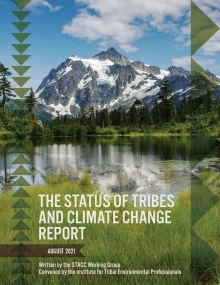
The Status of Tribes and Climate Change (STACC) Report seeks to uplift and honor the voices of Indigenous peoples across the U.S. to increase understanding of Tribal lifeways, cultures, and worldviews, the climate change impacts Tribes are experiencing, the solutions they are implementing, and ways that all of us can support Tribes in adapting to our changing world.
The STACC Report was written for diverse audiences including Tribal managers, leaders, and community members, the authors of future National Climate Assessments (NCA); federal and state agencies and decision makers; and non-governmental organizations. Over 90 authors representing diverse entities and perspectives contributed to this report, including the authors of 34 personal narratives and author teams who wrote topic reviews using elements from their own experiences and knowledge.
Climate Modeling & Projection Resources
Climate Mapping for Resilience and Adaptation (CMRA)
The U.S. Climate Resilience Toolkit offers a framework to help communities systematically consider and address their climate hazards. Communities can use this portal to document their past, present, and future exposure to climate-related hazards.
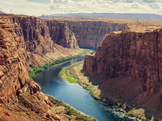
Colorado River Science Wiki
The Colorado River Science Wiki is a web-based clearinghouse for scientific and technical information relevant to the Colorado River Basin and the management of its water resources and related natural resources. The clearinghouse is intended to be useful to managers and other decision-makers, researchers, the media, and the broader public.

Community Collaborative Rain, Hail, and Snow (CoCoRaHS) Network
CoCoRaHS is an acronym for the Community Collaborative Rain, Hail and Snow Network. CoCoRaHS is a unique, non-profit, community-based network of volunteers of all ages and backgrounds working together to measure and map precipitation (rain, hail and snow).
Data Basin
Data Basin supports researchers, natural resource managers, advocates, teachers, students, and members of the engaged public to create and participate in working groups where they can visualize, draw, comment, and discuss relevant topics or geographies.
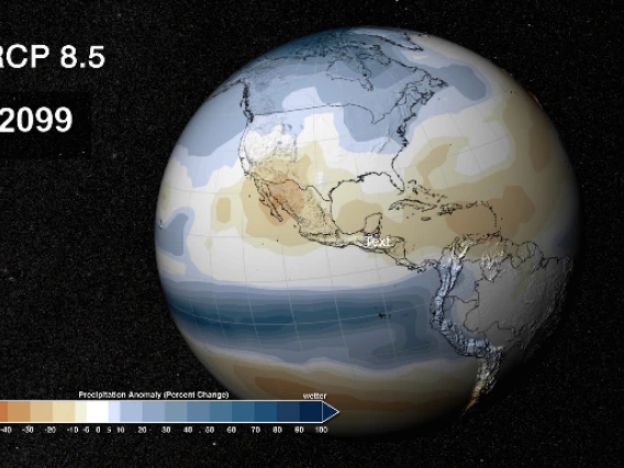
Multivariate Adaptive Constructed Analogs (MACA) Visualization Tools
Multivariate Adaptive Constructed Analogs (MACA) is a statistical method for downscaling Global Climate Models (GCMs) from their native coarse resolution to a higher spatial resolution that captures and reflects observed patterns of daily near-surface meteorology and simulated changes in GCMs experiments.