
Southwest Climate and Environment Information Collaborative (SCENIC): Connecting climate information, data, and tools with user needs
The SCENIC web application provides:
♦ Historical observations
♦ Downscaled model outputs on maximum temperature, minimum temperate, and precipitation
♦ Hydrologic data from VIC simulations
♦ Statistical descriptions of downscaled values from multiple GCM–RCP combinations (ensembles). The ensemble sets may be selected either by the user (customized sets) or by expert knowledge of the project team (default sets).
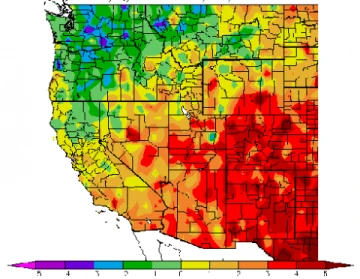
Within SCENIC, users will be able to select the temporal resolution (e.g., daily, monthly, yearly) and extent (start and end dates, whether within or across calendar years) and spatial extent (common political or watershed domains, or arbitrary polygons) for which they seek data. Users will be able to obtain raw (e.g., daily minimum and maximum temperature, daily precipitation) or derived climate elements (e.g., number of days maximum temperature exceeded a given threshold, highest precipitation within a five-day period within each water year). Files are available in multiple options for the format of downloads (e.g., html, .csv, .xls). Users will also be able to analyze and visualize data (e.g., time series plots, composite maps).
More Information